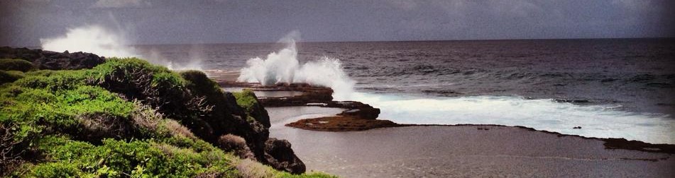
Tonga
In August 2021, Leaders declared their “intention to maintain maritime zones without reduction once they are established in accordance with the UN Convention on the Law of the Sea.”
Boundaries must be completed to protect the sovereign rights of Pacific Island states and ensure a peaceful, secure and sustainable security, peace, and economic stability for future for the region generations in the face of climate change and sea-level rise.
Read more
Maritime Boundaries of
Tonga
Legend
Exclusive Economic Zone
Datasets
Treaty Line
Datasets
Extended Continental Shelf
Datasets
High Seas Limit
Datasets
Datasets
1. Pathway to maritime zones

Completed
1. Low water line mapped

Completed
2. Baseline developed

Completed
3. Archipelagic status assessed

Completed
4. Maritime Limits Calculated

Completed
5. Shared boundaries identified


Completed
7. Harmonize legislation

In progress
8. Declare baselines and limits

Not started
9. Baselines and limits Deposited

Not started
10. Publication
2. Pathway to Maritime Boundaries Treaty
2.1 Treaty in force


2.2 Treaty signed but not yet in force
N/A
2.3 Treaty not signed


3. Extended Continental Shelf Pathway
Eastern Kermadec Ridge

Completed
1. Preliminary Submission Lodged

Completed
2. Submission presented to CLCS

Completed
3. Sub-commission elected

Completed
4. Recommendation by sub-commission

Completed
5. Recommendation lodged with UNDOALOS
Lau-Colville Ridge
Completed
1. Preliminary Submission Lodged
Not started
2. Submission presented to CLCS
Not started
3. Sub-commission elected
Not started
4. Recommendation by sub-commission
Related Datasets
Organization:

Forum Fisheries Agency (FFA)
Organization:
Forum Fisheries Agency (FFA)
Organization:
Forum Fisheries Agency (FFA)