The availability of timely and reliable spatial population data is necessary when analysing a wide range of sustainable development areas such as disaster risk assessment and response, infectious disease outbreaks, water availability and coastal fisheries management.
Gridded population maps take actual or projected population data and represent the spatial distribution on a continuous grid surface. The base population data is ideally collected at the finest spatial resolution possible and then aggregated within each respective grid cell. Where low resolution or projected data is used, specific spatial distribution methodologies are used to assign data to each respective cell.

The Pacific Community Statistics for Development Division generated 100m x 100m (1 hectare) population grids modelled using the most recent census data projected to 2020, for 12 Pacific Islands Countries and Territories. The population grids for the rest of the countries will be made available in the coming months.
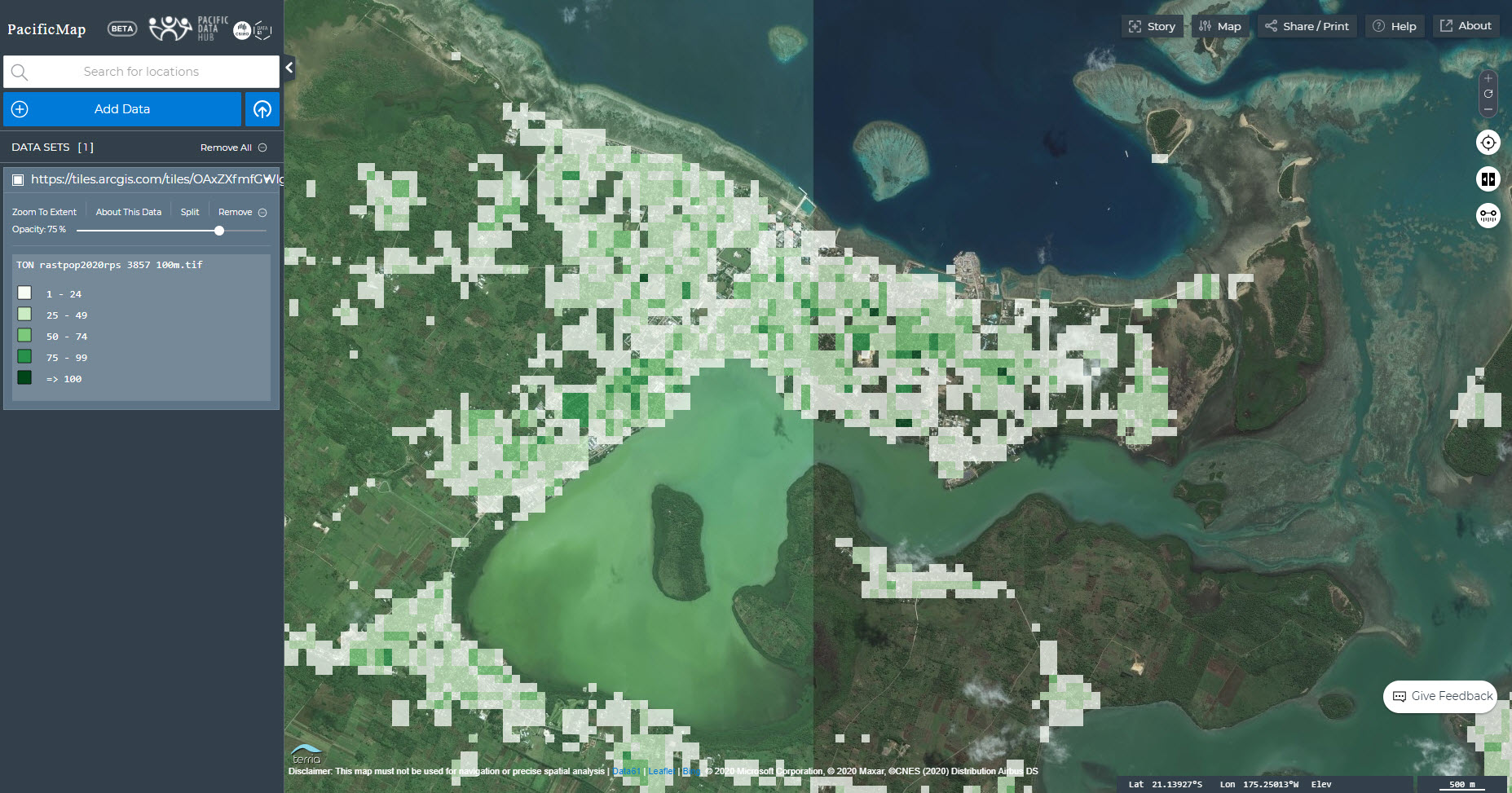
The population grids can be accessed via the Pacific Data Hub in several different ways. Users who would like to preview/visualise the data can do so using Pacific Map which is integrated with the Pacific Data Hub:

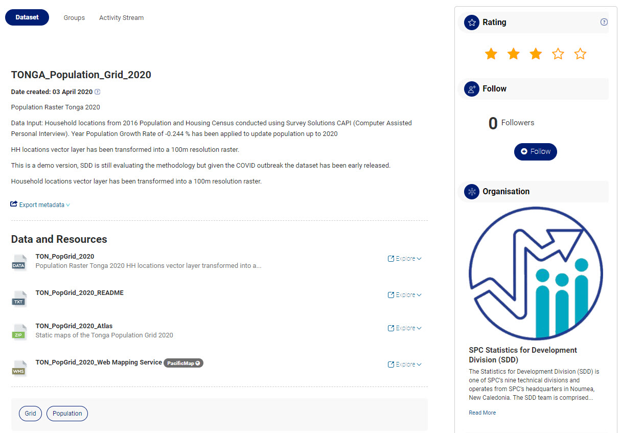
Those who are interested in downloading the datasets can do so through the Pacific Data Hub main catalogue (below), or can consume the datasets as services (WMS) using a desktop/web GIS application.

